TRAK CHARTS MEMPHREMAGOG

TRAK CHARTS MEMPHREMAGOG

Product Code: 0610533

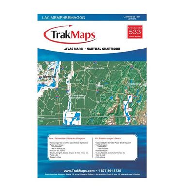
Atlas marin du Lac Memphrémagog : l'Estrie (Québec). Impression sur papier imperméable et indéchirable à une échelle de 1/25 000. Idéale pour pêche, plaisance et pêche blanche. 8 pages,


  • Bathymétrie
  • Aides à la navigation
  • Entraves à la navigation
  • Route prrincipales
  • Lieux de pêche
  • Sites de plongée
  • Marinas
  • Rampes de mise à l'eau
  • Sites d'intérêt touristiques
  • Imprimé sur papier synthétique imperméable et indéchirable
Sale Price CAD $26.99
Online Availability
Availability: <b style="color:green;">In stock</b>
533

Substitute Products

List of suggested products: Substitute Products.
CHS Chart Chaleur Bay - South shore
Sale Price CAD $20.00
Availability: <b style="color:green;">In stock</b>
Richardson Hudson River Chart Book
Sale Price CAD $128.95
Availability: <b style="color:green;">In stock</b>
CHS Chart Lake Saint-Pierre
Sale Price CAD $20.00
Availability: <b style="color:green;">In stock</b>
Navigation Aide Vinyl chart case 24 x 36
Original Price CAD $50.60
Sale Price CAD $40.85
20% rebate
Availability: <b style="color:green;">In stock</b>
Our website requires cookies to enhance your online browsing experience. For example, these cookies allow you to save products in your shopping cart, even when you’re not logged into your account. These cookies are crucial for ensuring the website functions correctly.