TrakMaps Lake St-Pierre Chart
TRAK
TRAK

TrakMaps Lake St-Pierre Chart

Product Code: 0601490
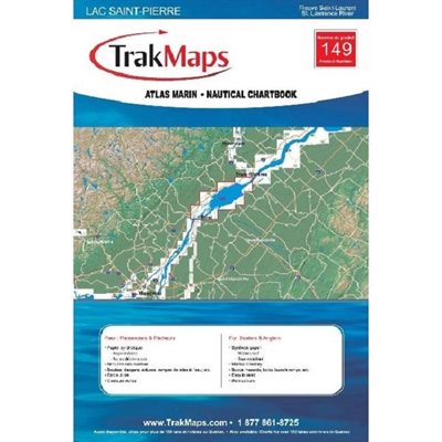
Full colour map showing bathymetry (depth) of the lake. Includes buoy localization, fishing spots and navigational information. The TRAK Nautical Atlas is convenient and practical for boaters with Its laminated pages in an easy to handle size. Format :Laminated booklet, (10 pages, spiral binding) Scale of 1:40000,
Sale Price CAD $42.99
Online Availability
Availability: <b style="color:green;">In stock</b>
  • Manufacturer's number : TRK 149
  • Dimension : 12 x 18
  • Area : St-Pierre Lake
149

Substitute Products

List of suggested products: Substitute Products.
CHS Chart Pointe des Monts to Escoumins
Sale Price CAD $20.00
Availability: <b style="color:green;">In stock</b>
CHS Chart Cap aux Oies / Sault-au-Cochon
Sale Price CAD $20.00
Availability: <b style="color:green;">In stock</b>
Richardson's Chart Book for Lake Ontario
Original Price CAD $148.55
Sale Price CAD $129.85
13% rebate
Availability: <b style="color:green;">In stock</b>
Navigation Aide Vinyl chart case 24 x 36
Original Price CAD $50.60
Sale Price CAD $40.85
20% rebate
Availability: <b style="color:green;">In stock</b>
Our website requires cookies to enhance your online browsing experience. For example, these cookies allow you to save products in your shopping cart, even when you’re not logged into your account. These cookies are crucial for ensuring the website functions correctly.